
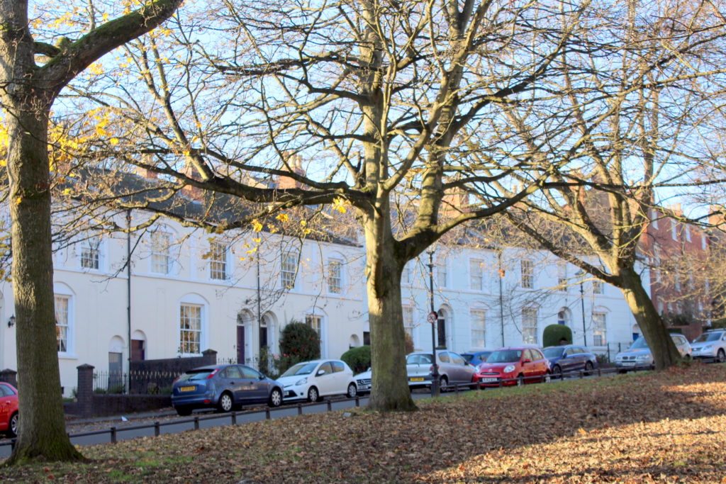
Edgbaston Conservation Area
News Update 27.04.20 – removal of graffiti
Calthorpe Residents Society (CRS) have noticed a tremendous amount of graffiti on the Calthorpe Estate within the last few months. This heavily degrades the Conservation Area and makes residents and the public feel unsafe.
CRS have been very proactive with identifying and reporting graffiti in our area. We have managed to get many street cabinets, streetlights, street nameplates, traffic signs, litter bins and subways cleaned up quite quickly.
Locations include: Church Road, Carpenter Road, Ampton Road, Calthorpe Road, Harborne Road, Westbourne Road, Five Ways, Frederick Road, St James Road, Wheeleys Road, Greenfield Crescent, Islington Row Middleway.

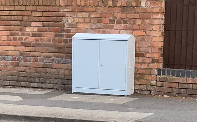
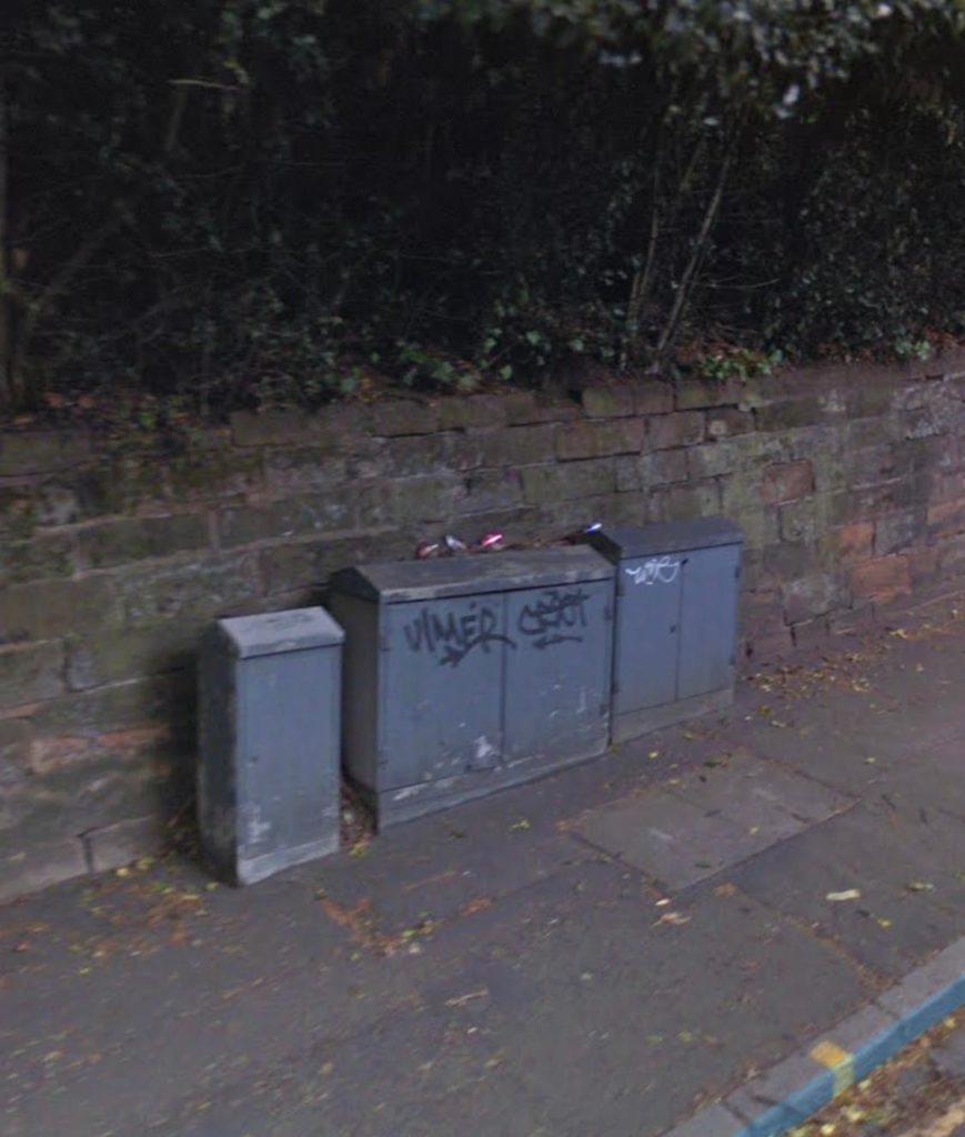
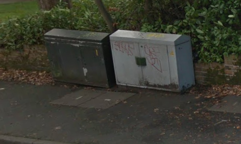


Whilst we are pleased with our results – some before and after images are shown above – this is an ongoing issue and we will continue to monitor the area and report new issues as they arise.
News Update 5th December 2019
As members will know, the CRS set up a small Working Group to work with the City Council’s Conservation Team to begin the review process for the Edgbaston, Lee Bank and Rylands Road Conservation Areas. The Council is minded to combine all three of these areas, and asked the CRS in view of its local knowledge to assist in reviewing the approved Character Area Appraisal document which was last approved by Council in 1998.
The Working Group has now completed this task and submitted a working draft, along with suggestions for policies to the Conservation Team. It is hoped that this will in time ensure that the Council’s Planning Committee considers more appropriate policies for future developments across the Conservation Area. The Council’s Conservation Team is now responsible for reviewing the work we have done, designing the consultation process with key stakeholders, and with residents, and taking the document through to Council Cabinet for approval.
We have been told that this is likely to take some considerable time due to pressures on Council officers. But we will update residents on progress and we will keep up the pressure on the Council.

Edgbaston’s Conservation Areas
The Edgbaston Conservation Area was designated in September 1975. Extended in December 1984 and then again in December 1992. The Edgbaston Conservation Area Character Appraisal has the status of Supplementary Planning Guidance and was subject to public consultation during May 1998. The ECA Character appraisal was approved by BCC Planning Committee in December 1998.
In addition, there are two further Conservation Areas contiguous with the Edgbaston CA boundaries. These are Ryland Road (designated in March 1969) and Lee Crescent (designated in June 1974).
It is the City Council’s intention is that these three CAs should be merged into one CA
The City Council requested the support of the Society to help review the evidence base for the Conservation Area and provide guidance on a Management and Action Plan to guide future developments and pressures across the Conservation Area.
Natural Environment of Edgbaston
Within the Calthorpe Estate and the area covered by the three Conservation Areas, lie some of the most significant areas of Birmingham’s natural environment within a couple of miles of the City Centre. While this “greenness” is acknowledged in the Edgbaston CA character appraisal, its ecological contribution to the wider conurbation is much less understood.
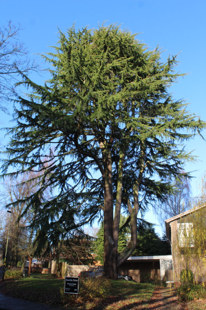
The area is heavily treed and within the Conservation Areas these trees are protected under S211 of Town and Country Planning Act 1990. While there are also a large number of TPOs outside of the Conservation Area, these are also not closely monitored and need reviewing.
The CRS wishes to see this properly and fully acknowledged and embedded in planning policy in view of the undoubted development pressures arising from the area’s inherent quality of life.
Calthorpe Residents Society – Quality of Place
The Calthorpe Residents Society (CRS) seeks to ensure that the overall Quality of Place which is reflected in the designation of these three CAs is fully recognised, maintained and nurtured for future generations.
The key documents are:
Edgbaston Conservation Area map
Ryland Road CA map
Lee Crescent CA map
Edgbaston Conservation Area designation and extension documents
Edgbaston Conservation Area Character Appraisal
Ryland Road CA designation document
Lee Crescent designation document
The Review
The Society has established a small Working Group to review the original Character Appraisal and to draw up draft management guidance for the City Council. The Society has retained a specialist historical geographer from the University of Birmingham to assist the Group. This is being supported by the Local Innovation Fund.
The Working Group has met 12 times to date (July 2019) including with the City Council’s Conservation Officers. Discussions have focussed on the distinctive characters of the individual areas within the existing Conservation Area, possible extensions/alterations to the boundaries, and the legacy of the architect John Madin who designed both landscape and buildings in Edgbaston.

The City Council will be responsible for the formal public consultation on any revisions to the Conservation Area and its boundaries. The Society will ensure that residents are fully involved in this process.
It is not expected that final approval will be given by the Council until the summer of 2020 at the earliest.